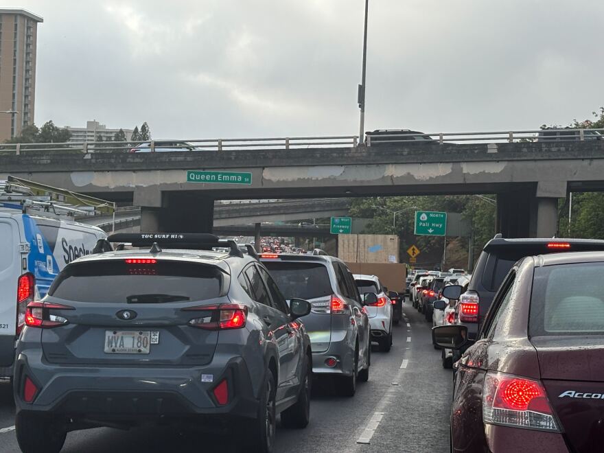
Emergency managers directed Oʻahu residents to seek high ground on Tuesday as the state faced a tsunami warning.
The call was urgent for people in the "red zone," or coastal areas that may be inundated during a tsunami, as indicated by Oʻahu's evacuation maps.
But the maps also show yellow "Extreme Tsunami" zones, which stretch farther inland. Did people in those areas need to evacuate on Tuesday evening as well?
No, said Kwok Fai Cheung.
He would know — he made the maps.
The yellow zone indicates what areas may be unsafe if Oʻahu experiences a 1-in-1,000-year tsunami.
While Tuesday's earthquake off the coast of Russia was significant, it wasn't large enough to generate a tsunami of that scale.

The red zone on Oʻahu's maps is based on how real tsunamis have impacted the islands over the last 200 years.
But after the Boxing Day Tsunami killed over 220,000 people around the Indian Ocean in 2004 and the Tōhoku earthquake and tsunami devastated Japan in 2011, Hawaiʻi's emergency managers worried that the islands may one day face a tsunami far larger than what their historical data had shown.
In response to those concerns, Cheung, a professor of ocean and resources engineering at the University of Hawaiʻi at Mānoa, worked with emergency managers to update Oʻahu's evacuation guidance.
He created models that showed the level of inundation Oʻahu might see during a "worst-case scenario" tsunami. Those models were based on two hypothetical seismic events — a 9.3 earthquake and a 9.6 earthquake, both occurring in the Aleutian Islands.
The impacts of a tsunami generated from such earthquakes could be three times as severe as what was accounted for in the red zone on Oʻahu’s maps.
"That became the yellow zone of the evacuation map," Cheung said.
Know your zone
Laura Kong, the director of the International Tsunami Information Center in Honolulu, said that if such a tsunami is on the horizon, emergency managers will make sure to say it's extreme.
Otherwise, people in the yellow zone are OK to stay home.
For people near the coast who are unsure which zone their exact location falls in during a tsunami event, Kong said to head inland.
"We will always say it's better to be safer," Kong.
But she urged people to take some time to familiarize themselves with the evacuation maps and determine where their homes, places of work and common locations fall.
That preparation could help people avoid panic – and traffic jams – the next time a big wave heads Oʻahu's way.

Sign up for your county's emergency alert system
More information and resources:
Hawaiʻi Public Radio exists to serve all of Hawai’i, and it’s the people of Hawai’i who keep us independent and strong. Help keep us strong to serve you in the future. Donate today.


